Map Skills: Using Different Maps Together
Through animation, maps of the same scale and projection are combined to show relationships between natural features of the earth, human use, and social and political features. Projects different kinds of animated maps of the same scale and explains how the maps are used in gaining an understanding of the relationships between the social, political, and natural features of the earth.
You may like
Les Lumières de Vallot
Bancoco
Once ... Agadir
In the Valley of Neretva

Echoes from the Tian Shan
Un jour en Italie
North American Regions: The Rocky Mountains
Maps Add Meaning to History
The River of Life and Death
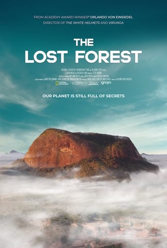
The Lost Forest
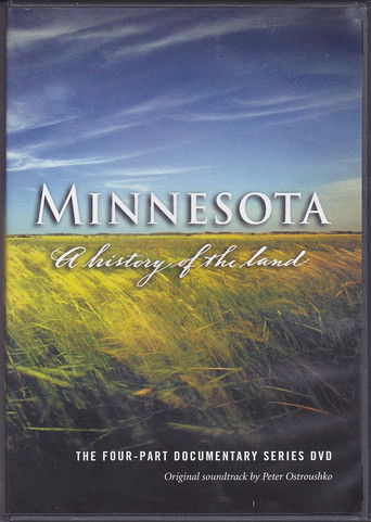
Minnesota: A History of the Land
Decolonising the Curatorial Process
Naqoyqatsi
Ex Libris: The New York Public Library
A Plastic Ocean

A Love Song for Latasha

The Mole: Undercover in North Korea

The Summers of It - Chapter Two: It Ends

Downloaded
Spider-Man: All Roads Lead to No Way Home
Beyond Infinity: Buzz and the Journey to Lightyear

Looking for Richard
National Geographic: Journey to the Edge of the Universe

I Am Heath Ledger